Magnetometry
Detailed magnetic survey known as magnetometry is an effective and efficient geophysical survey technique used to define areas of past human activity by mapping spatial variations and contrast in the magnetic properties of soil, subsoil and bedrock. The technique can be carried out over areas of grass, crop and open soil.
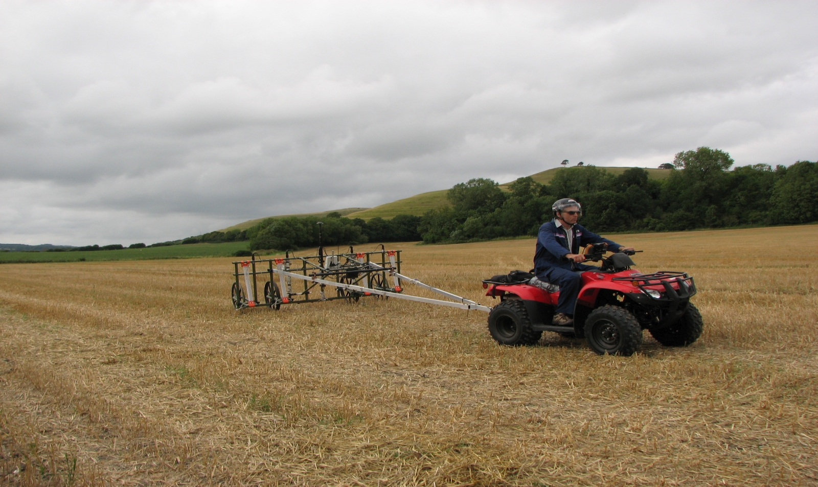
Archaeological Surveys use a multi-sensor cart based system combined with RTK GNSS for precise positioning when recording magnetometry data. The cart is either pushed by the operator on foot or towed using an ATV. As standard we collect data along 0.5m traverses at 0.15m centres; this provides significantly higher resolution than standard which aids interpretation and the production of high quality magnetometry reports.
If you require magnetometry survey please contact Kerry Donaldson or David Sabin at Archaeological Surveys Ltd and we will be happy to provide a quotation and discuss your requirements.

